














Stay in touch
Subscribe to our mailing list for all the latest news and developments about Natural Capital Suite.

Truii acknowledges the Traditional Owners of Country throughout Australia. We pay our respects to Elders past, present and emerging.

Local conditions matter. Natural Capital Region is developed on a region-by-region basis. Our starting point is to develop Natural Capital Region instances based on existing natural resource management (NRM) organisation boundaries. However, Natural Capital Region instances can be developed for any spatial extent where regional planning is applied, such as the whole or part of a state, a local government area, or a drainage area that crosses other jurisdictions (e.g. Murray Darling Basin, Kati Thanda-Lake Eyre).
Each Natural Capital Region instance includes:
With the current condition and a collection of possible actions, Natural Capital Region is ready for rapidly developing regional investment portfolio options and forecasting the benefit of those scenarios to inform regional NRM planning. Natural Capital Region is also used to capture and quantify the collective benefit of previous investment programs and to streamline routine project reporting to funders.
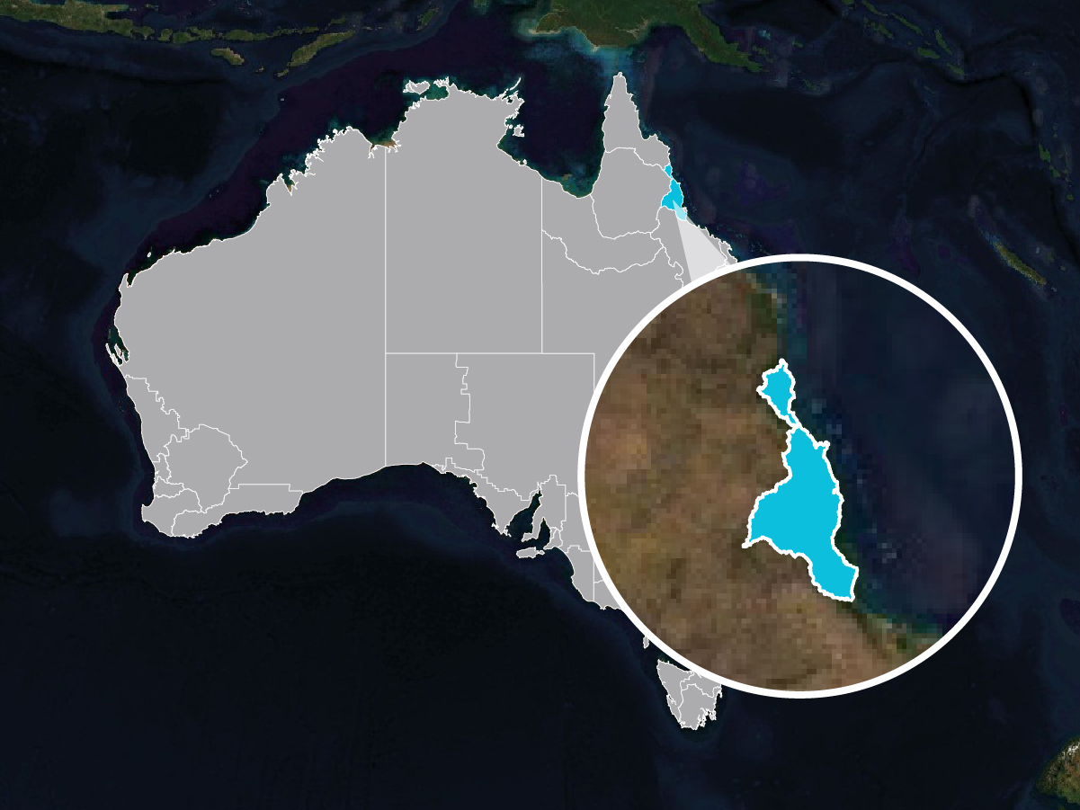
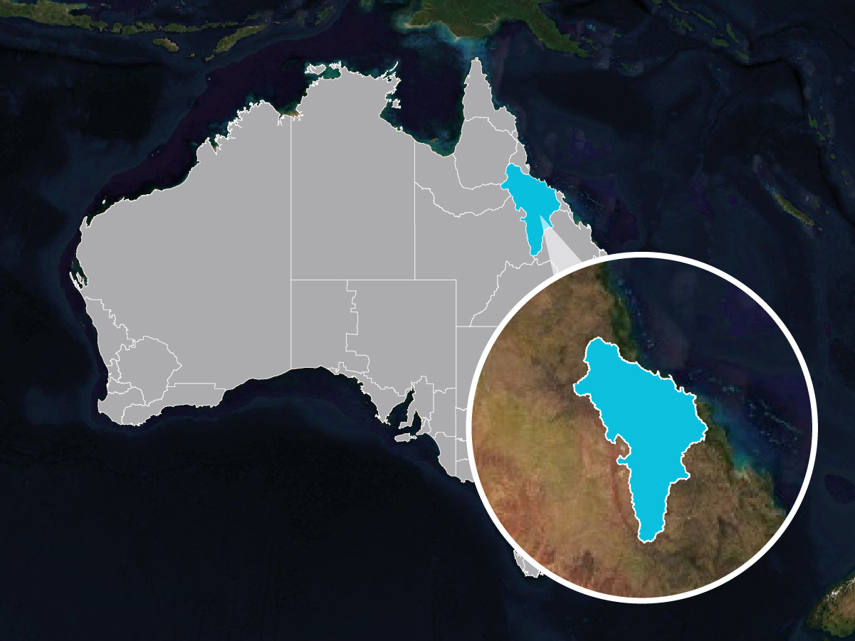
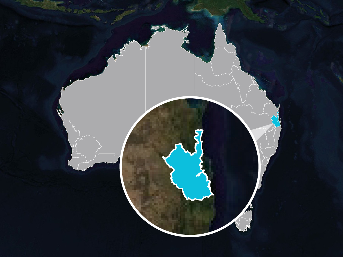
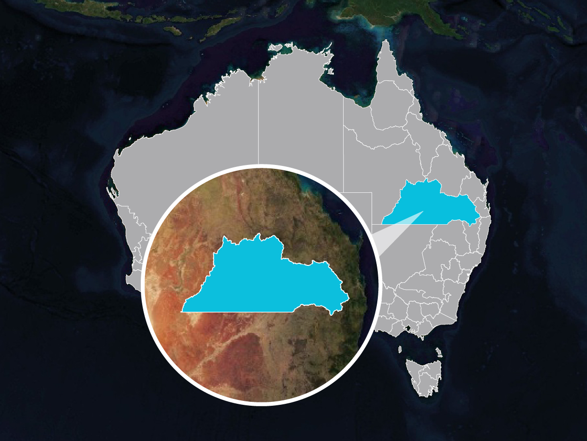
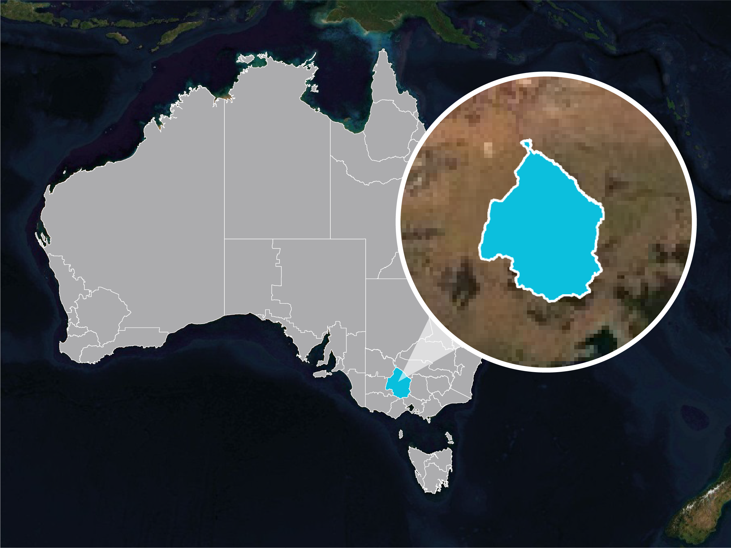
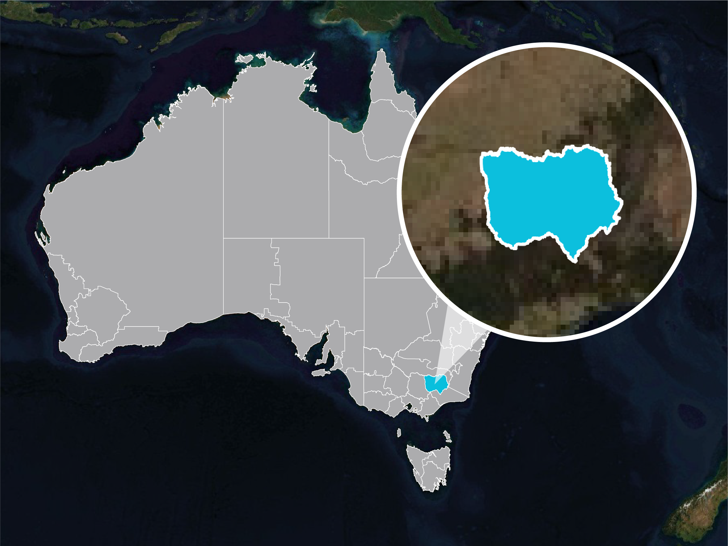
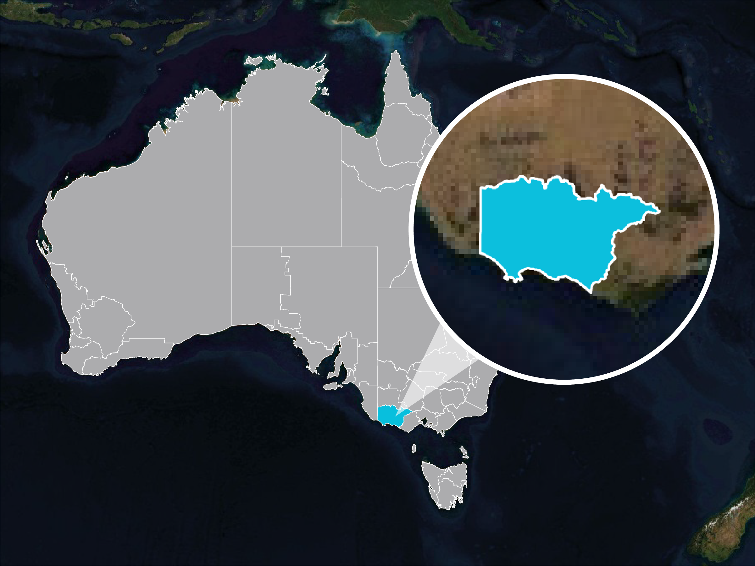
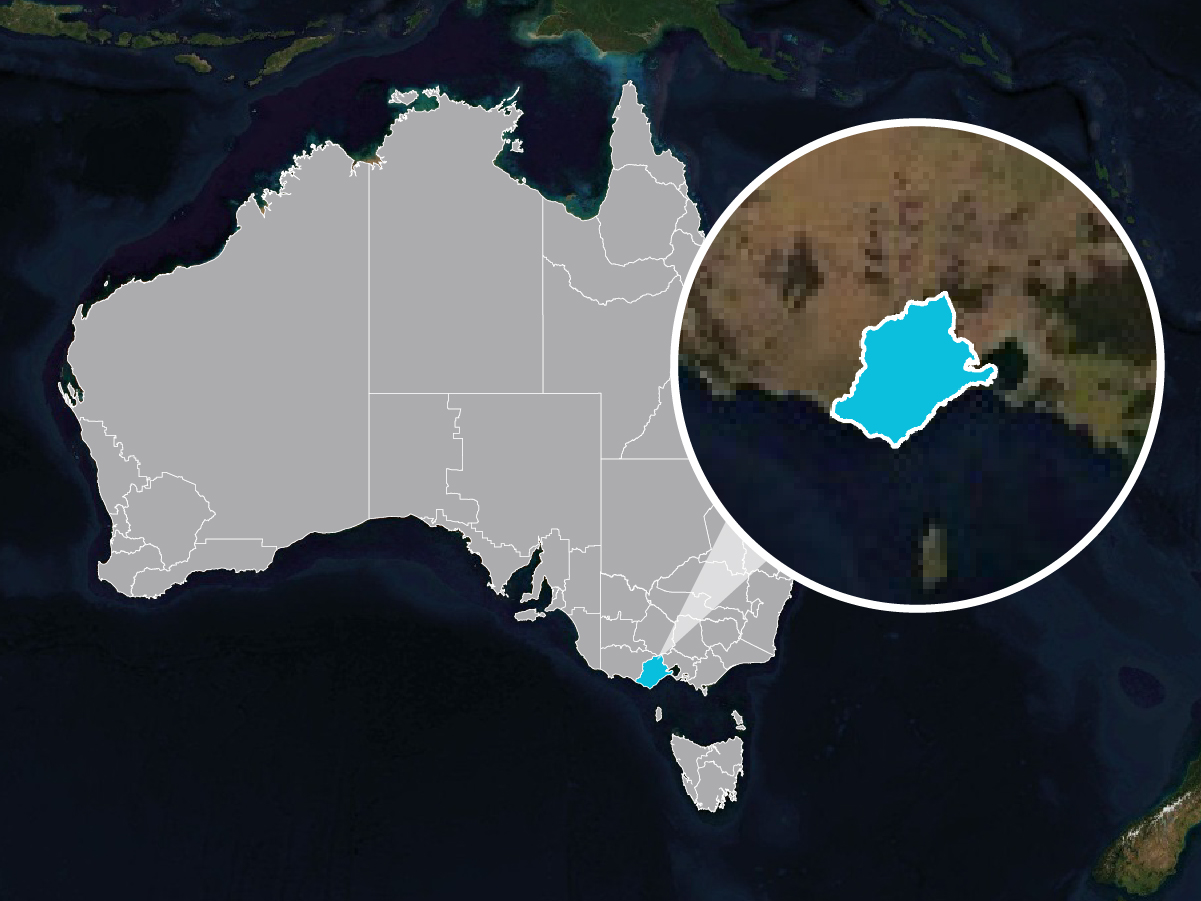
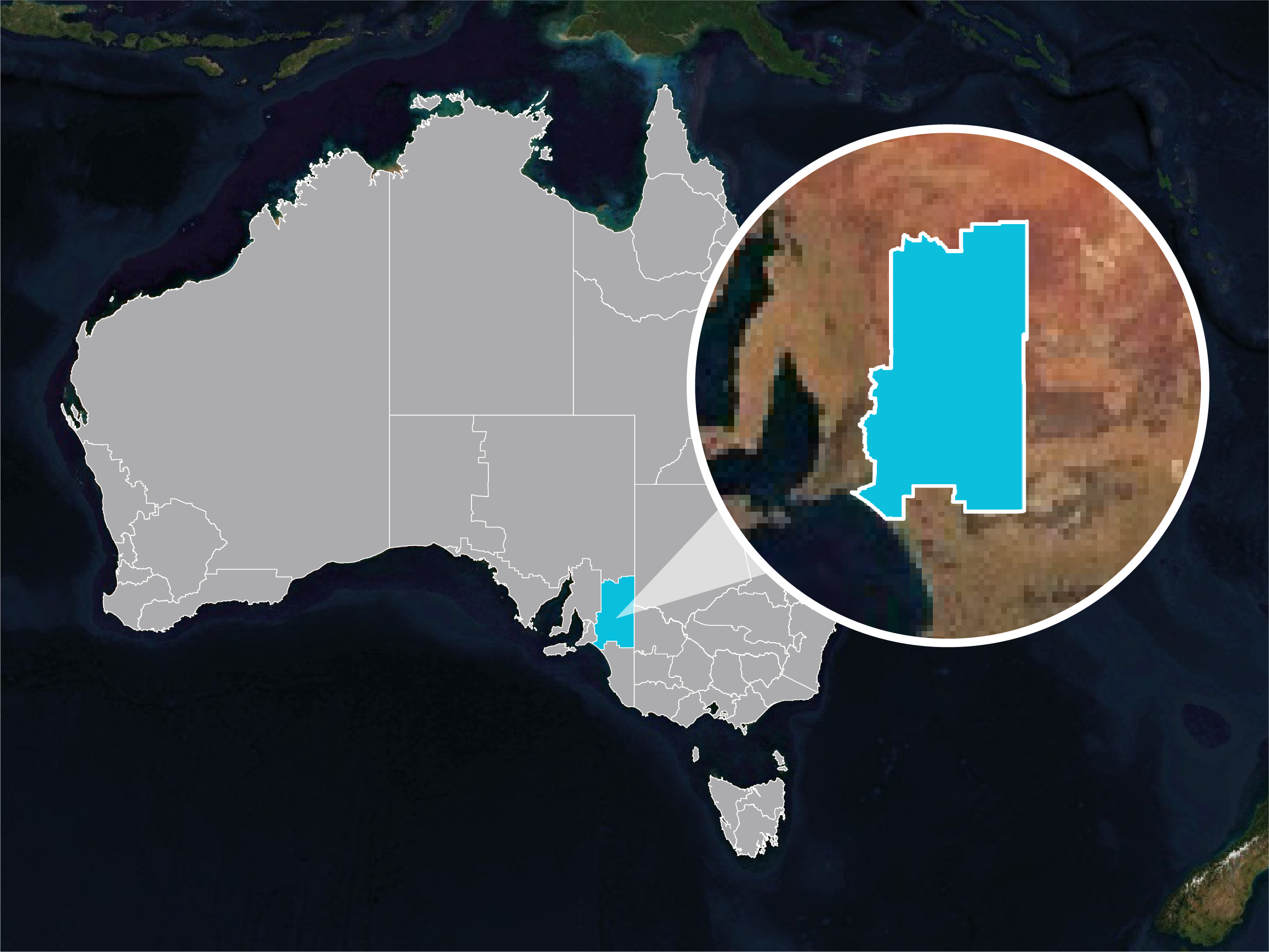
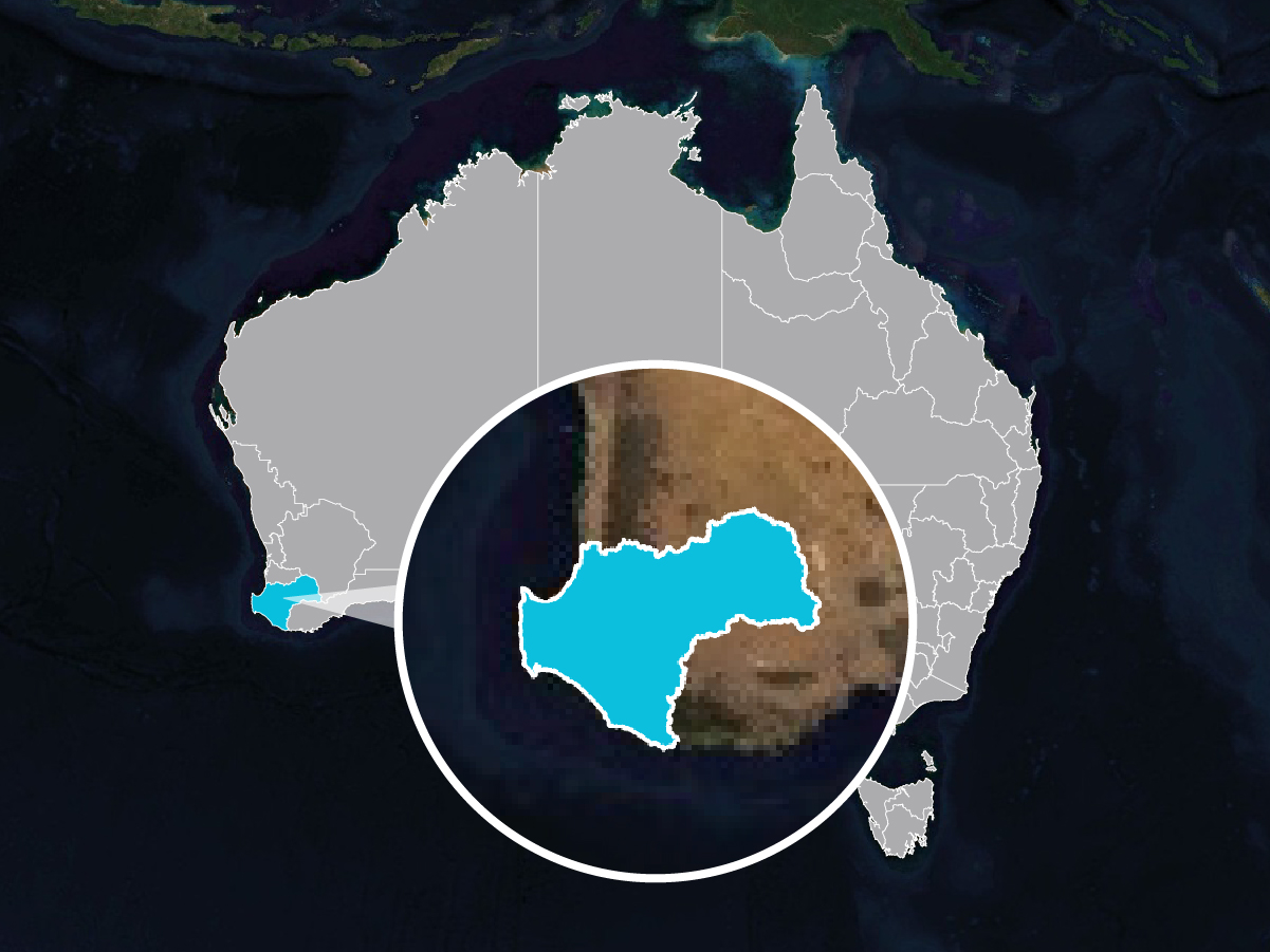
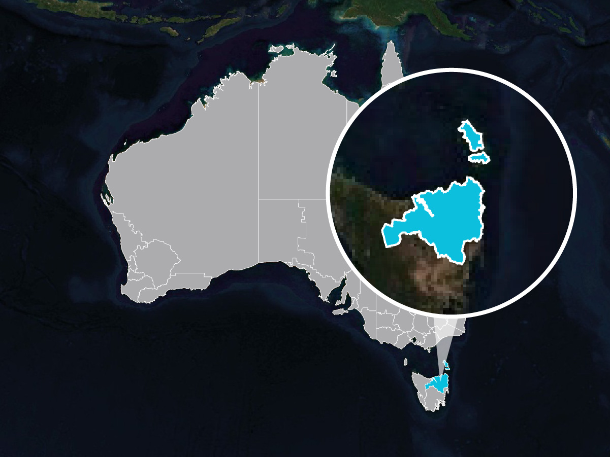
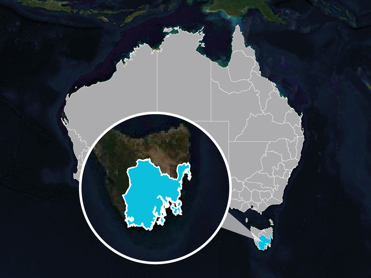
Explore the currently available regions below (or contact us to develop one for your region).
Select an available region to view a presentation of its ‘condition’ (regional natural capital account) and an example investment scenario.
The key starting point for the development of a new Natural Capital Region instance is the underlying spatial units that are essential for regional planning. We typically start with hydrological units (sub-catchments) but in consultation with you, these are often split/aggregated into more useful reporting units, often delineated by significant differences in land use (e.g. upland forested catchment, lowland agricultural, or urban areas) or administrative boundaries.
We have an extensive library of on-ground actions developed and applied across Australia. To get started in a new region we create a region-specific Action Library’s tailored to the region. You can always refine and develop more Actions at any time.
Subscribe to our mailing list for all the latest news and developments about Natural Capital Suite.
Truii acknowledges the Traditional Owners of Country throughout Australia. We pay our respects to Elders past, present and emerging.


