Queensland Murray–Darling Basin
Queensland


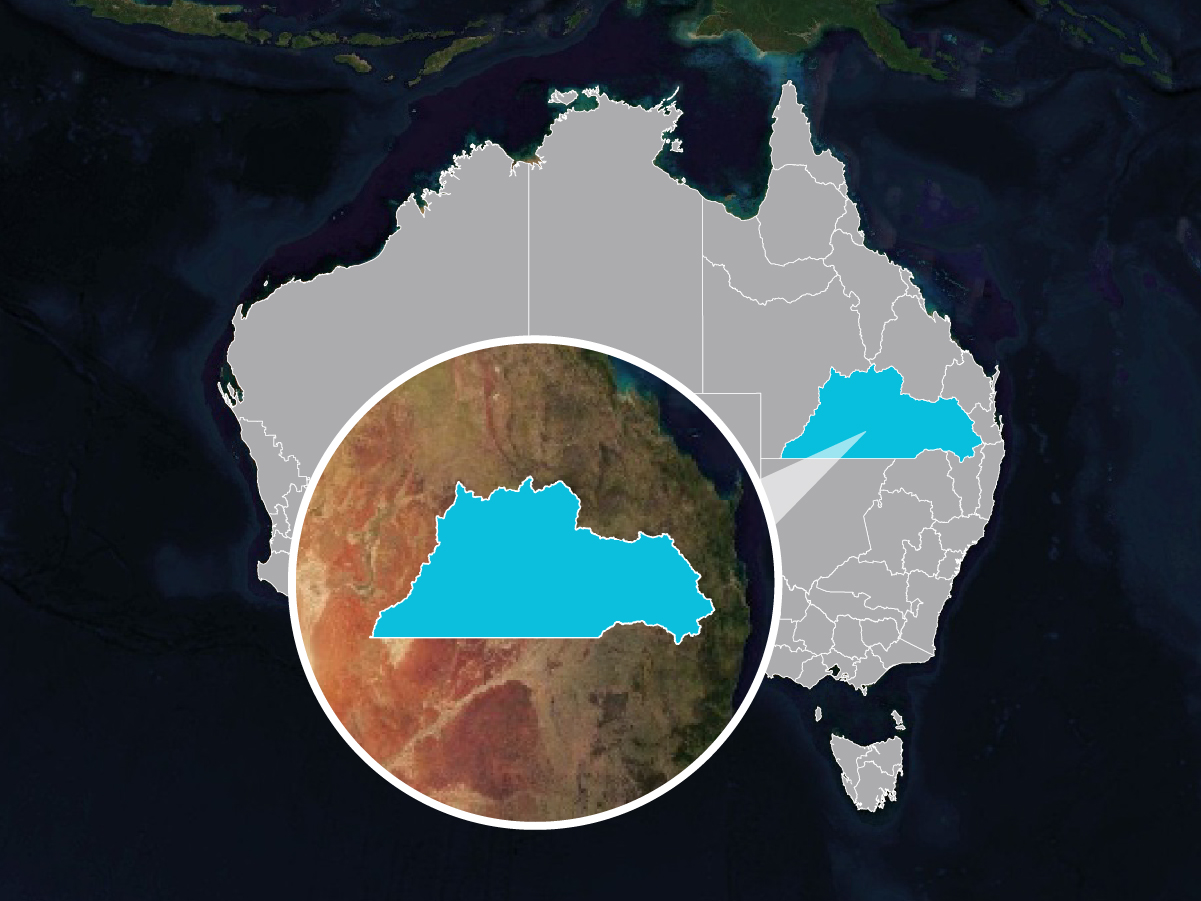
| Location: | South Western Queensland |
| Traditional Owners: | 28 Nations across the region including the Bigambul, Gomeroi/Kamilaroi, Githabul, Kambuwal, Kwiambul, Mandandanji, Gunggari (Kungarri), Kunja, Budjiti, Euahlayi, Murrawarri, and Barunggam peoples. |
| Regional body: | Southern Queensland Landscapes |
| Area: | 314,400 (km2) |
| Catchments: | Condamine River, Border Rivers (Macintyre Dumaresq, Severn rivers), Moonie River, Balonne River, Culgoa River, Nebine River, Warrego River, Paroo River, and Bulloo River. 42 sub-catchments. |
| Population centres: | Toowoomba, Roma, St George, Charleville, Goondiwindi |
| Local government areas: | Bulloo, Quilpie, Paroo, Blackall Tambo, Maranoa, Balonne, Goondiwindi, Western Downs, Toowoomba, Southern Downs |
| Dominant land uses: | Grazing (85%), Dryland cropping (4.2%), Forestry (3.4%), Conservation (3.4%) |
The Queensland Murray Darling Basin Natural Capital Region covers the Queensland catchments that flow south to contribute to the Murray Darling Basin as well as the terminal (endorheic) Bulloo River catchment further west. The region is very large, covering 314,400km2 or about 1.4 times the state of Victoria. It includes the catchments of the Condamine River, Border Rivers, Moonie River, Balonne River, Nebine River, Culgoa River, Warrego River, Paroo River and Bulloo River. This covers a distance of almost a 1,000km east to west (Toowoomba to Quilpie) and 500km north to south (Tambo to the Queensland-New South Wales border). The region is home to around 250,000 people including major urban centres of Toowoomba, Roma, St George, Charleville and Goondiwindi.
Dissolved inorganic nitrogen generated
tonnes per year
Fine sediment generated
kilotonnes per year
Woody vegetation cover
square kilometres
Riparian and wetland woody vegetation cover
square kilometres
Explore the current condition in the interactive condition report below – Click on a sub-catchment to view a report on the natural capital measures for that sub-catchment in the ‘report’ tab.
Choose the natural capital measures that are important to you – Select the ‘hotspot’ tab and check the indicators that are important to you. Then view measures that are aggregated and range standardised from the highest to the lowest value across the sub-catchments (red for worst and blue for best). By simultaneously considering multiple natural capital measures you can instantly see where the greatest opportunities for natural capital improvement are.
One of the most common uses of Natural Capital Region is to prioritise what to do and where to do it and to forecast the future natural capital condition under alternative nature repair investment programs.
The rapid scenario creation and running allows for the development of co-operative investment strategies that include the priorities of multiple partners (e.g. NRM organisations, federal government, state government and local government).
To facilitate this rapid scenario generation, Natural Capital Region includes region-specific libraries of tens of possible on-ground actions. Each action includes their effectiveness for improving natural capital outcomes, the cost per hectare of the action and the likelihood of adoption of each action.
To demonstrate, a simple investment scenario is embedded below.
| Budget: | $50,000,000 |
| Area: | All sub-catchments |
| Positive Actions: | Terrestrial and riparian revegetation nature repair and conservation actions (protecting remnant vegetation and native revegetation replanting) |
| Negative Actions: | Do not consider the implications of negative actions (eg. excluding impacts of ongoing clearing or urban expansion) |
| Maximum area per sub-catchment: | Set the maximum area for each action per sub-catchment as 10% of the available area for that action (spread the investment across several actions) |
| Adoption likelihood: | Use likely landholder adoption rates (includes total proportion of landholders and time to achieve adoption) |
| Priorities: | Prioritise based on water quality and biodiversity outcomes and actions that include high First Nations engagement |
Explore the scenario results spatially – Click sub-catchments on the map to see the cost breakdown over time and by sub-catchment.
Explore the marginal cost abatement – This shows where the rate of improvement vs cost starts to flatten off. Hover over the chart to see a breakdown of each suggested action by sub-catchment with the associated co-benefits of the action quantified.
Natural Capital Region forecasts a potential future state by considering alternative on-ground actions. A critical step in this process is compiling the data to establish the baseline condition for the region.
Metadata for the indicators (and groupings used in Action set up) included in the Queensland Murray Darling Basin instance of Natural Capital Region have been thoroughly documented.
Subscribe to our mailing list for all the latest news and developments about Natural Capital Suite.

Truii acknowledges the Traditional Owners of Country throughout Australia. We pay our respects to Elders past, present and emerging.


